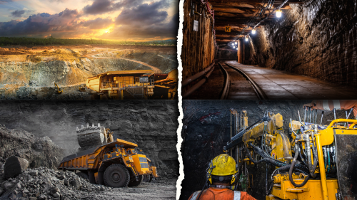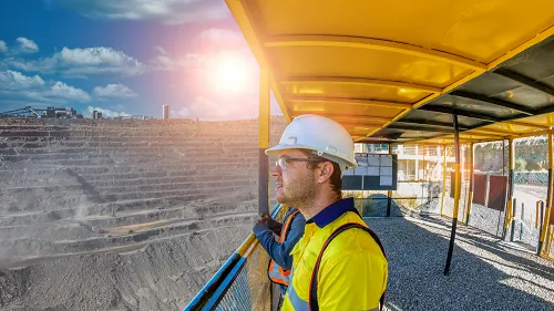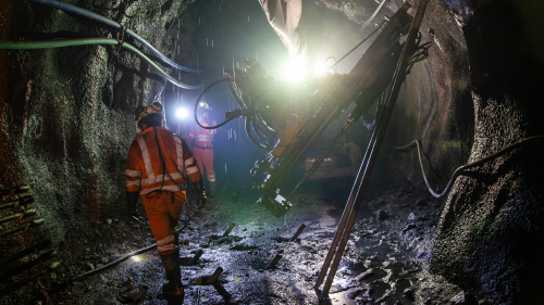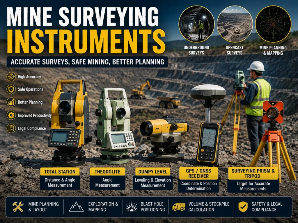
Accurate surveying is the foundation of every successful mining operation. Before developing a mine, surveyors determine boundaries, prepare mine plans, establish control points, measure excavation progress, and ensure that mining activities follow the approved design. All these activities depend on reliable Mine Surveying Instruments.
Modern Mine Surveying Instruments provide highly accurate measurements of distance, angle, elevation, and coordinates. They are used in underground coal mines, opencast mines, tunnels, exploration projects, and mine infrastructure development. With advancements in digital technology, traditional optical instruments are increasingly being replaced by electronic and satellite-based equipment.
For GATE Mining, Mining Sirdar, Overman, DGMS, PSU recruitment, and Mining Engineering examinations, Mine Surveying Instruments are among the most important technical topics because they combine surveying principles, mapping, mine planning, and field measurements.
What Are Mine Surveying Instruments?
Mine Surveying Instruments are specialized devices used to measure horizontal distance, vertical distance, elevation, angles, direction, and coordinates within mining areas. These measurements help prepare accurate mine plans, monitor excavation, establish property boundaries, and maintain safe mining operations.
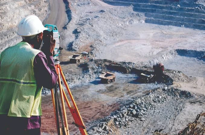
Surveying ensures that underground workings remain within lease boundaries and that mine development follows the approved design. Accurate measurements also help prevent accidental breakthrough into abandoned workings or waterlogged areas.
The main purposes of Mine Surveying Instruments include:
- Establish survey control points
- Prepare mine plans and sections
- Measure excavation progress
- Calculate earthwork and reserves
- Monitor slope and subsidence
- Maintain legal mine boundaries
Why Are Mine Surveying Instruments Important?
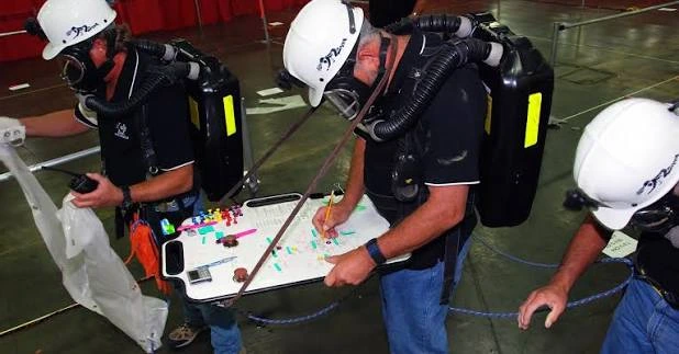
Every stage of mining depends on precise measurements. Errors in surveying can lead to production losses, safety hazards, and legal disputes. Therefore, Mine Surveying Instruments play a vital role in mine planning and operational safety.
Major benefits include:
- Accurate mine planning
- Safe underground development
- Prevention of boundary violations
- Better production monitoring
- Reliable reserve estimation
- Improved blasting accuracy
- Better infrastructure layout
- Enhanced legal compliance
Proper surveying reduces costly operational mistakes and improves overall mine efficiency.
Types of Mine Surveying Instruments
Modern mining uses various Mine Surveying Instruments, each designed for specific measurement tasks.
Total Station
A Total Station is the most widely used electronic surveying instrument. It combines an electronic theodolite with an electronic distance measurement (EDM) system to determine coordinates quickly and accurately.
Theodolite
The theodolite measures horizontal and vertical angles. It is commonly used for alignment, tunnel surveying, and underground traversing.
Dumpy Level
The dumpy level measures differences in elevation and helps establish reduced levels (RL) for mine roads, benches, and structures.
Auto Level
An auto level automatically establishes a horizontal line of sight, making leveling operations faster and more accurate.
GPS/GNSS Receiver
GPS and GNSS receivers determine precise geographical coordinates and are mainly used in opencast mining, exploration, and boundary surveys.
Compass
Mining compasses are used for quick directional surveys and traversing in underground mines where magnetic interference is minimal.
Laser Distance Meter
Laser distance meters provide rapid and accurate distance measurements for short-range surveying and infrastructure work.
Components of Mine Surveying Instruments
Different Mine Surveying Instruments have different construction, but most include:
- Telescope
- Tripod Stand
- Horizontal Circle
- Vertical Circle
- Leveling Screws
- Optical Plummet
- Electronic Display
- Battery Pack
- Prism
- Reflector
- Data Storage Unit
Proper calibration of these components is essential for obtaining accurate survey results.
Applications of Mine Surveying Instruments
Mine Surveying Instruments are used throughout the life cycle of a mining project, from exploration to mine closure.
Major applications include:
- Mine boundary surveys
- Exploration mapping
- Underground traversing
- Tunnel alignment
- Bench layout
- Blast hole positioning
- Volume calculation
- Stockpile measurement
- Subsidence monitoring
- Mine closure surveys
Modern mines increasingly rely on digital surveying systems to improve productivity and reduce measurement errors.
Advantages of Mine Surveying Instruments
Modern Mine Surveying Instruments provide significant advantages over traditional methods.
Major advantages include:
- High measurement accuracy
- Faster data collection
- Reduced human error
- Digital data recording
- Easy integration with GIS and CAD software
- Better mine planning
- Improved productivity
- Reliable documentation
Electronic surveying instruments also simplify report preparation and mine plan updates.
Challenges in Using Mine Surveying Instruments
Despite technological advancements, surveyors still face several practical challenges.
Common difficulties include:
- Dust affecting visibility
- Underground humidity
- Poor lighting conditions
- Magnetic interference
- Instrument calibration errors
- Battery limitations
- Signal obstruction for GPS
- Rough terrain
Regular maintenance and proper calibration are necessary to maintain surveying accuracy.
Future of Mine Surveying Instruments
The future of Mine Surveying Instruments is driven by automation, artificial intelligence, and digital mapping technologies.
Emerging technologies include:
- Drone-based mine surveys
- LiDAR scanning
- 3D laser mapping
- Robotic total stations
- AI-assisted data processing
- Real-time cloud synchronization
- Digital twin technology
- Autonomous surveying systems
These innovations allow mining companies to obtain highly accurate data in less time while improving worker safety.
Underground Mining Methods: Powerful Techniques, Types, and Modern Innovations
Conclusion
Mine Surveying Instruments are essential tools for planning, developing, operating, and monitoring mining projects. They ensure accurate measurements, improve mine safety, support legal compliance, and optimize production planning.
From traditional theodolites to advanced Total Stations and drone-based LiDAR systems, surveying technology continues to evolve rapidly. Every mining engineer, surveyor, Mining Sirdar, Overman, and GATE aspirant should understand the principles and applications of Mine Surveying Instruments, as they form the backbone of modern mining operations.
Frequently Asked Questions
What are Mine Surveying Instruments?
Mine Surveying Instruments are devices used to measure distance, angles, elevation, and coordinates for mining surveys.
Which is the most commonly used Mine Surveying Instrument?
The Total Station is the most commonly used instrument because it combines angle measurement, distance measurement, and coordinate calculation in one device.
Why are Mine Surveying Instruments important?
They ensure accurate mine planning, safe excavation, reserve estimation, and legal boundary maintenance.
Where are Mine Surveying Instruments used?
They are used in underground mines, opencast mines, tunnels, exploration projects, infrastructure development, and mine closure surveys.
What is the future of Mine Surveying Instruments?
The future includes drone surveys, LiDAR, robotic total stations, AI-assisted mapping, and digital mine models for faster and more accurate surveying.